A Gentler Introduction to Maps

This week I have been working on another map interface for Tales from Wendmor.
Our existing map questions are fairly direct, which works well once you already have some geographical knowledge. But it is quite a demanding way to get familiar with maps in the first place. I was trying to focus on simply building a matter-of-fact familiarity with the world map, so I have been experimenting with a gentler version.
Instead of asking the player to locate something from scratch, we show several (usually five) possible locations. The player can move between them using tabs, inspect the different maps and decide which one they think is correct. We mark regions on the map that are not necessarily countries, but geographical features worth becoming familiar with — in this example, the Himalayas.
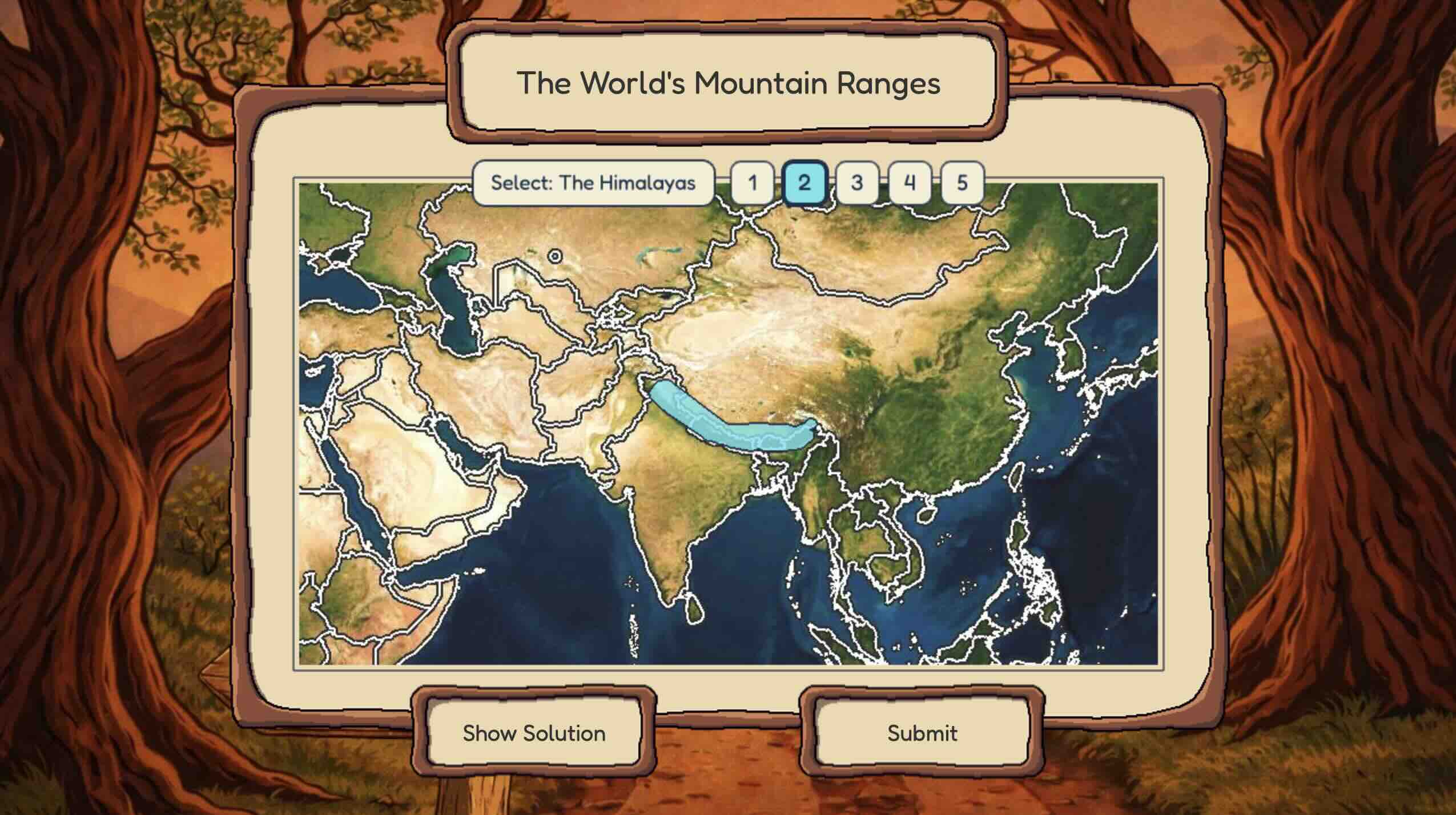
Players with existing map familiarity will not find these questions difficult and will breeze through them. For them, MMM will kick these questions into the long grass and quickly unlock follow-up questions at a higher difficulty level. For everyone else, it is a quick and gentle exercise in building visual familiarity with the map — making use of our strong ability to remember places, shapes and spatial relationships.
After submitting, the correct location is revealed and the player can look at it before continuing.
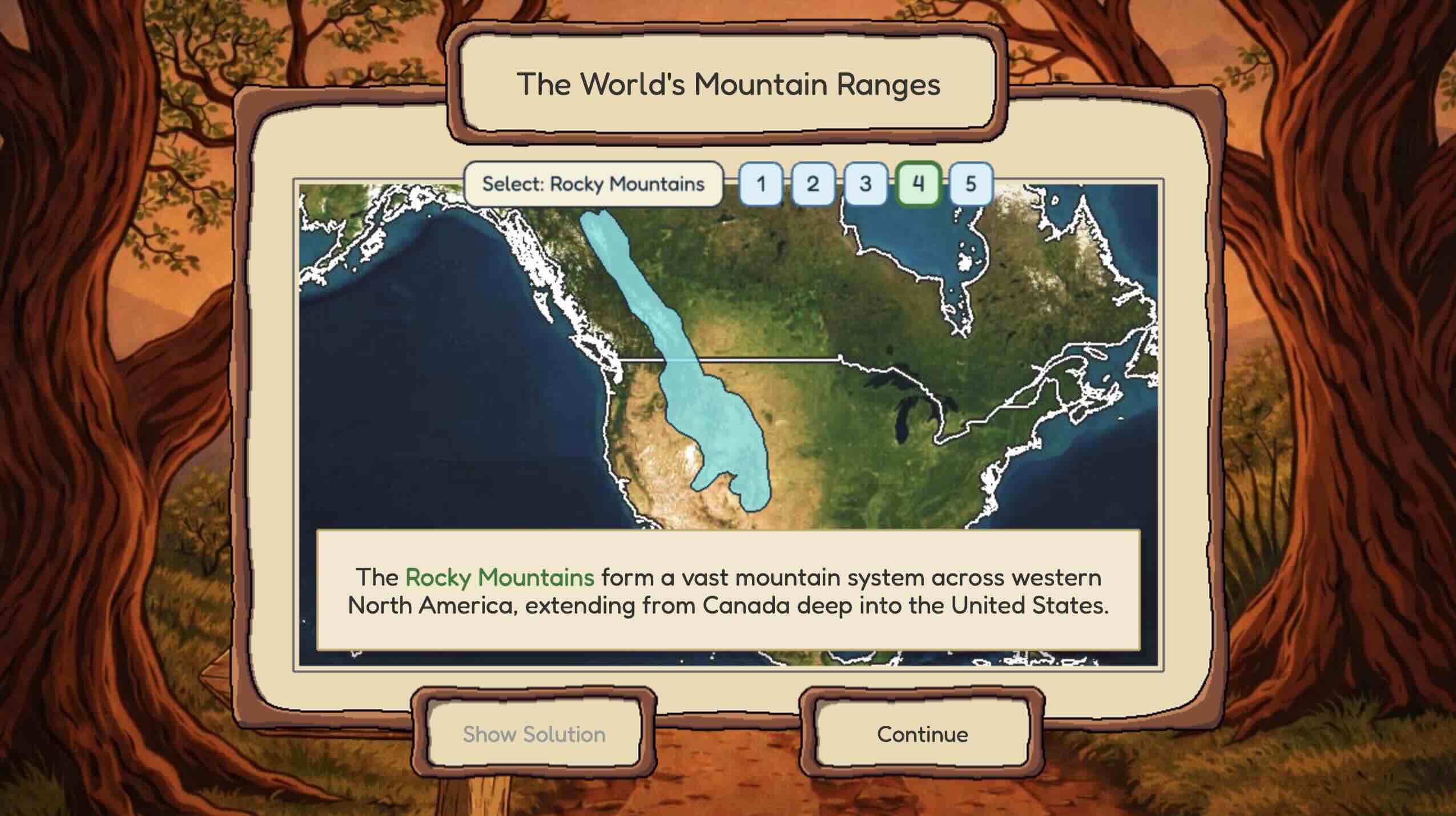
We are currently using the interface for a large set of the world's mountain ranges and are extending it with other useful information that can be placed on a map - more on this in a later post.
Discuss this post on Substack →